Santa Rosa Island, California, Geo-hikes. We generalized Thomas W. Dibblee Jr’s geologic mapping of Santa Rosa Island and added the main trails with their names. From these maps hikers can determine the rock formations, folds and faults they are walking over. Full paper copies of Dibblee’s mapping are available for purchase from: https://www.sbnaturestore.org/collections/dibblee-geologic-maps.
April 23, 2024, I updated my article on Santa Rosa Island geology by adding a more detailed geologic map of the northeast quadrant of the island with trails and names. The original mapping is by Thomas W. Dibblee Jr. The northeast quadrant is an easily accessible portion of the island if you are a good hiker. The quadrant has lots of trails, the Water Canyon Campground (open much of the year), and backcountry camping allowed at Cow Canyon beach and further west (no camping at Lobo Canyon beach), by permit, in the second half of the year. The coastline of the island provide a view of what southern California looked like +200 years ago with the exception of the pier at Beecher Bay and nearby some nearby buildings (Vail and Vickers Ranch, a few NPS buildings, and the CSUCI Research Station).
Previously, I added the generalized geologic map of all of Santa Rosa Island and a more detailed map of the southeastern quadrant of the island with trails and names. The southeast quadrant is an easily accessible portion of the island if you are a good hiker. The quadrant has lots of trails, backcountry camping allowed at East Point beach and South Point, by permit, in the second half of the year. The geology along the trails and coastal cliffs is varied with late Quaternary marine terraces, several Tertiary age marine units, and bisected by the large Santa Rosa Island fault. I’ll add more on the geology in later updates.
https://www.nps.gov/chis/planyourvisit/backcountry-beach-camping-on-santa-rosa-island.htm
Santa Rosa Island is part of the Channel Islands National Park, more information here: https://www.nps.gov/chis/planyourvisit/hiking-santa-rosa-island.htm
Boat access to Santa Rosa Island is provided by Island Packers, Ventura, California: https://islandpackers.com/santa-rosa-island/
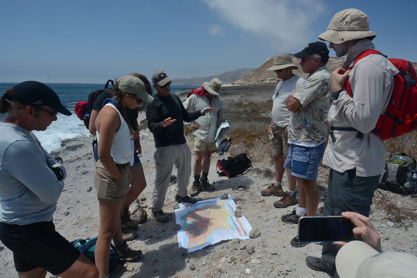
At East Point with the geologic map.


